Oklahoma - Missouri - Arkansas Tripoint
Posted by:  silverquill
N 36° 29.969 W 094° 37.071
15S E 355106 N 4040567
This marker designates the point where the U.S. states of Oklahoma, Arkansas and Missouri meet.
Waymark Code: WMGXQP
Location: Oklahoma, United States
Date Posted: 04/21/2013
Views: 23

This is an easily accessible roadside marker with parking from the north on Rout 43 in Missouri which is Route 20 northbound from Oklahoma.

Here is a bit of history about this boundary marker from
Missouri Roadsides: The Traveler's Companion
By Bill Earngey
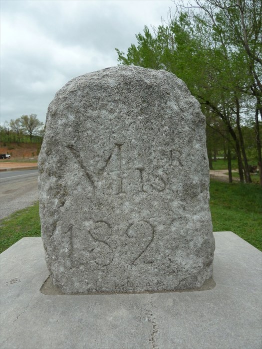
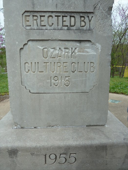
"Stacked one on top of the other are state-line markers erected between 1821 and the 1960s. on top, shaped like a headstone, is the original marker with "Mis. 1821" (the date of statehood) on the north side and "Ark. (no date; it was still a territory) on the south. Oklahoma, at the time, was Indian Territory. this stone is reportedly the western survey for the 1820 Missouri Compromise. Below it, a marble pedestal erected by the Ozark Culture Club in 1915 identifies all three states along with their dates of admission to the Union (Ark., 1836; Mo.,1821; Okla., 1907). At the bottom is a 10-foot cement circle with three bronze lines erected by the Lions Club in the 1960s."