
Wabash Railroad Bridge - St. Charles, Missouri
Posted by:  BruceS
N 38° 47.847 W 090° 28.020
15S E 719976 N 4297347
This bridge is a cantilevered through truss rail road bridge crossing the Missouri River between St. Charles on the west and Bridgeton on the east.
Waymark Code: WM1826
Location: Missouri, United States
Date Posted: 02/18/2007
Views: 47
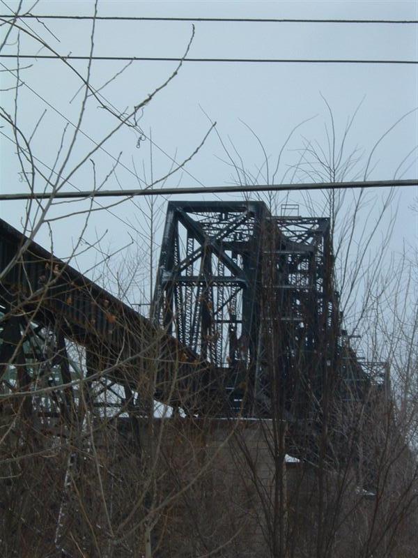
This railroad bridge was constructed in 1936 replacing a bridge built in 1871 which was located about 1/2 mile to south. The bridge is a cantilevered through truss Wabash Railroad bridge. The approach trestles are very long on both sides of the bridge. The bridge can be seen best while driving east bound across the nearby Discovery Bridge (Hwy 370) however it is not safe to stop on the bridge. The bridge can be seen from the Katy trail which passes below the approach trestle on the west side at N38° 47.978' W90° 28.257. The bridge can also be viewed from Blanchette Landing at N38° 47.596 W90° 28.407.