Relief Map of the State of Montana - Missoula, MT
Posted by:  T0SHEA
N 46° 51.602 W 113° 59.044
12T E 272549 N 5193934
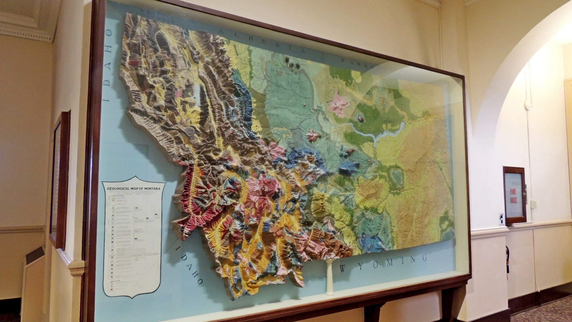
Within the oldest extant building on the campus of the University of Montana are a pair of relief maps, this one of the state of Montana and another of the university.
Waymark Code: WMKP4P
Location: Montana, United States
Date Posted: 05/09/2014
Views: 2
Both relief maps are under glass, making photography a tad difficult. This one is a scale model of the State of Montana. Accompanying it is a legend outlining the geology of the state. This map is mounted vertically on a wall.
The building, built in 1899, was the first building constructed in the then new campus.