Consisting of a free museum, wildlife displays, Esson Gale Art Gallery and Bighorn Gallery Gift Shop, the Grande Cache Tourism Interpretive Centre was officially opened on October 5, 1996. The Tourism Interpretive Centre offers local and regional tourist information, maps and brochures.
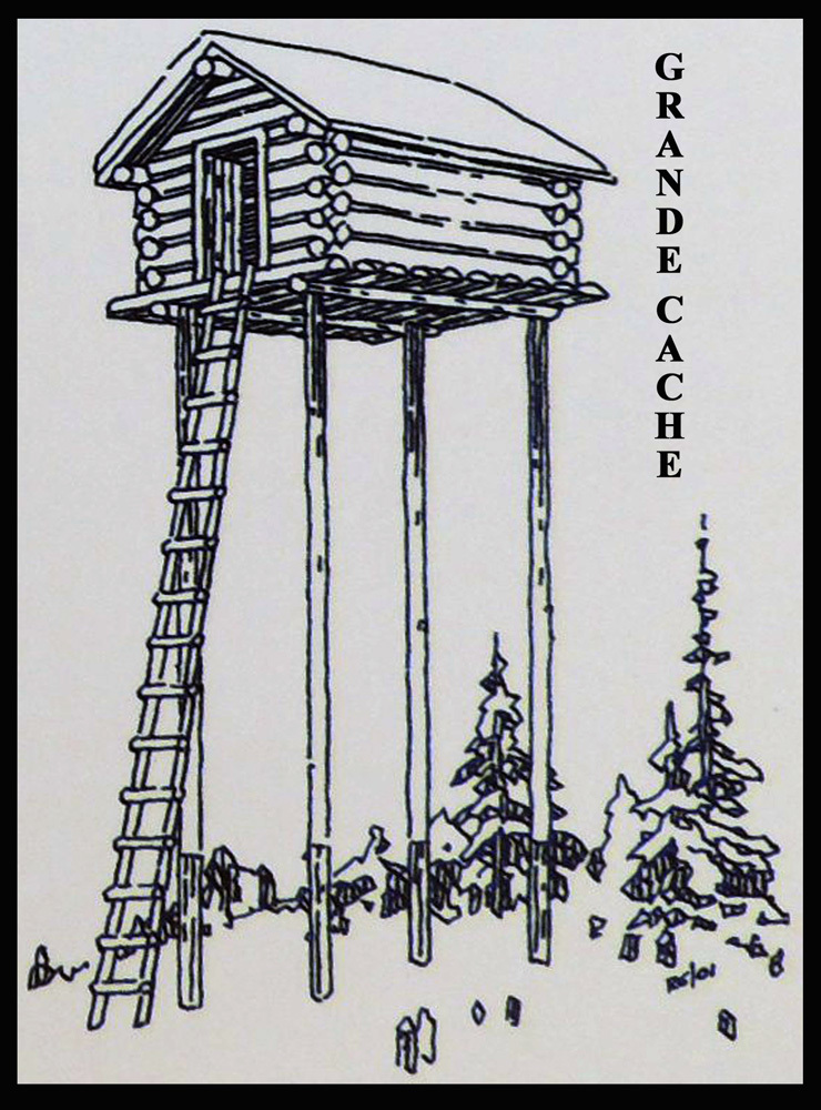
Immediately south of the Tourism Interpretive Centre is Bird's Eye View Park, officially opened August 28, 2010. The park features interpretive trails and picnic areas with three gazebos. Here you can see a replica of a "cache” along with other historic buildings that include the Muskeg Ranger Station built in 1942, Adams Creek Lookout built in 1940 and other buildings.
At the northeast corner of the park ia a group of historic buildings, primarily ranger cabins and forestry lookout towers and cabins. This was the Adams Creek Lookout.
The Adams Creek Lookout
The historic Adams Creek lookout was constructed in 1940 by Ranger Tom Coggins. He hauled the material up Adams Ridge on a wagon pulled by a double team of horses. The twelve foot square design is typical of the period. The building is a lookout, as opposed to a tower, because it was perched on a mountaintop, so the extra height of a tower was not necessary. Gordon Fowlie was the first regular Lookout Observer. He would arrive in April or May and stay until the end of fire season in September or October. The Observer lived and worked in this tiny building. His job was to watch for fires, which is why there are windows on all four sides. Fires were called to Edson or Hinton on the radio.
The lookout was named for a local Aboriginal pioneer named Adam Agnes. It is one of the highest lookout locations along the Front Range of the Rockies with an elevation of 7250 feet or 2100 metres. No doubt, it was a lonely job to "man" the lookout on this windswept mountaintop for months at a time with only the occasional hiker or hunter to break the monotony.
The lookout was moved to its present site in the fall of 2004. It has been replaced by a more modern structure.
The Grande Cache Historical Society gratefully acknowledges the information supplied by Robert Guest who served on the lookout for many years.
Thank you to Weyerhaeuser, Alberta Historical Resources Foundation and all who made this sign possible.
From the Historical Marker under The Cache