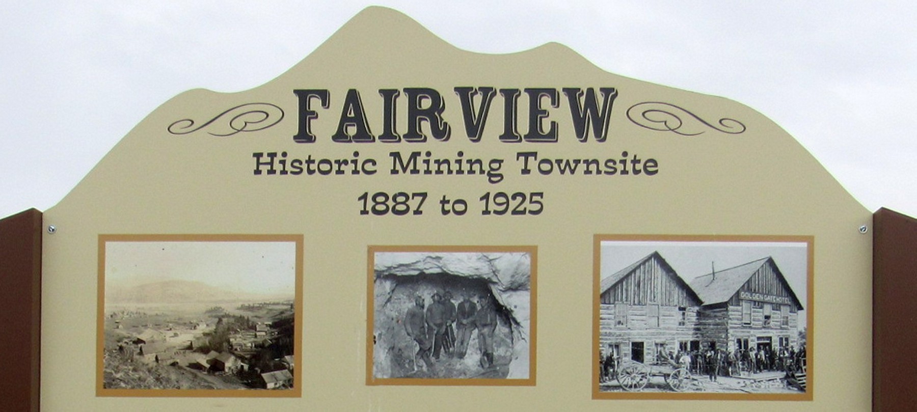
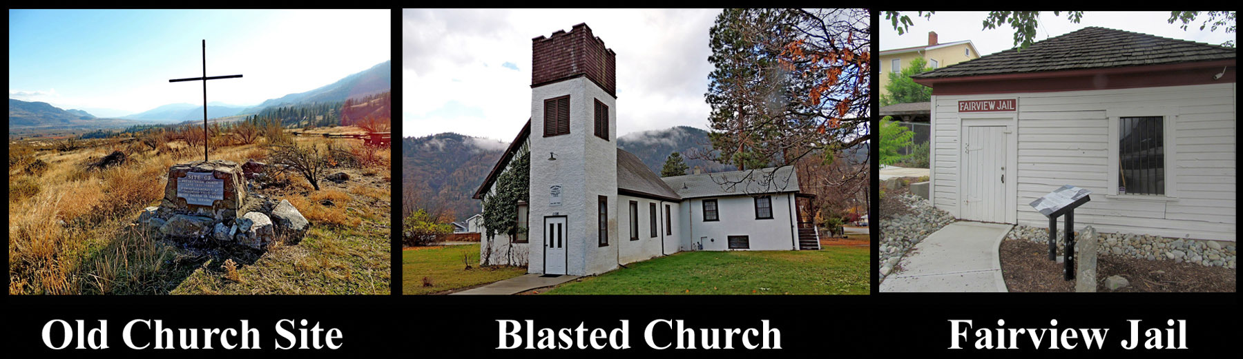
The area, later known as Fairview, began as a small claim in 1887. By 1919, Fairview had become a ghost town. Little remains, the site of the Presbyterian Church, constructed at Fairview in 1899 was moved to Okanagan Falls and is affectionately known as the Blasted Church. The Fairview jail, the last remnants of Fairview was moved to the Oliver Museum in 1981. I have yet to find the old cemetery.
Historic Fairview
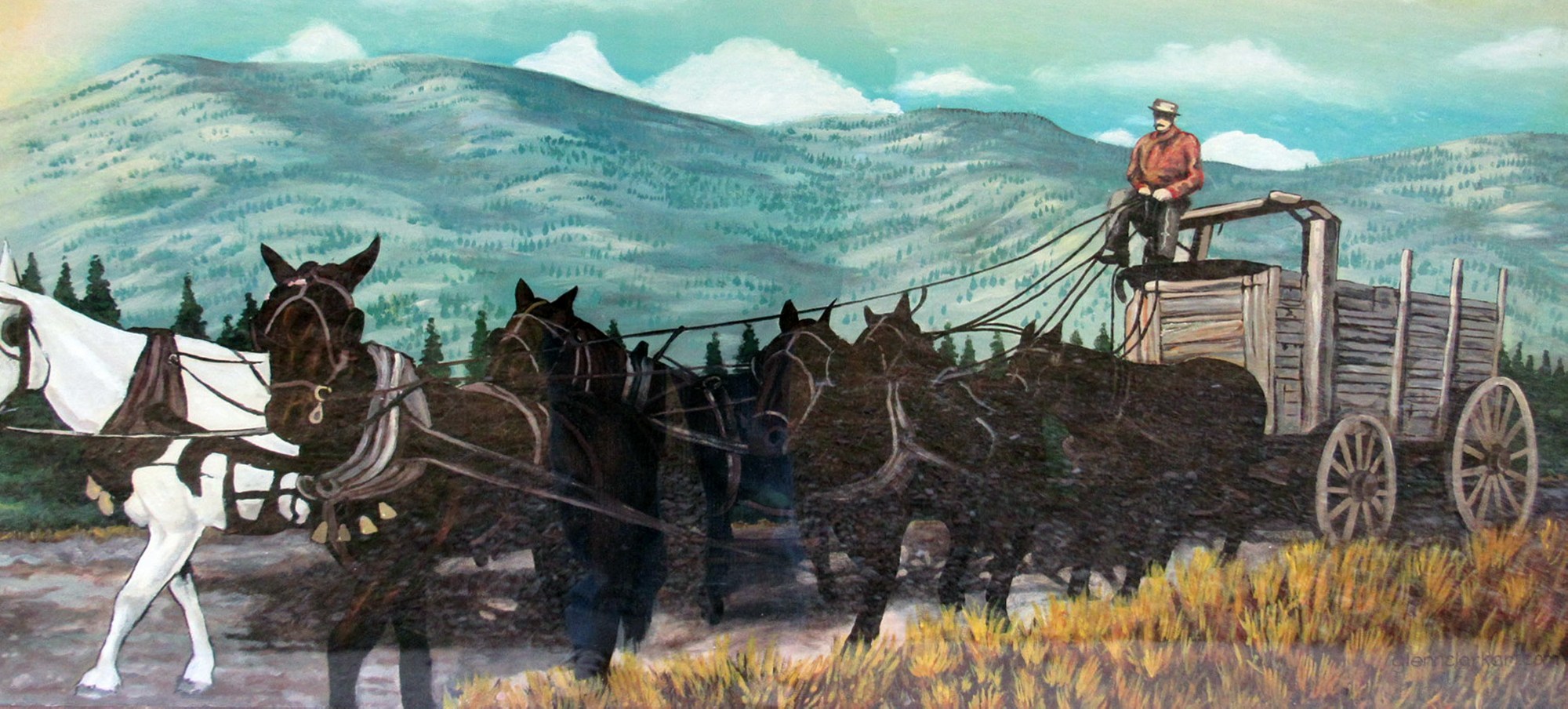
Almost no food was grown in the area and tinkling bells heralded the approach of freight wagons, drawn sometimes by as many as eight spans of horses, carrying cargoes for mines and the community's stores. (Famous freighters were the Bassett Brothers, Hall, the Gillespies and Snodgrass. J McCuddy, farming near Camp McKinney, the Gartrells of Summerland, and the Casorsos of Kelowna, packed in fresh vegetables and cured meats, while trail herd animals were butchered for fresh food.
Medical services were supplied by first, Dr. Benjamin Boyce and later by Dr. R.B. White, whose dog used to accompany him on long horseback journeys to patients throughout Boundary Country, Osoyoos, and Penticton, Hedlev and the Smilkameen. (Since no telephones existed in the South Okanagan at that time, emergency calls came by "moccasin telegraph", on foot or horseback).
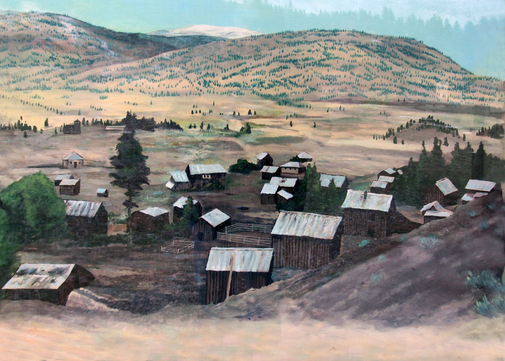
By 1906, when Fairview’s gold began to play out, most miners departed for other prospects and, two years later, Fairview had become a ghost town.
By 1919, “the most exciting town in the West" had vanished, although mining activity revived during Great Depression and, between 1934 and 1939, 16,992 ounces of gold and 162,6SO ounces of silver flowed from these hills.
Until 1887, these dry hills lay undisturbed by man; but, that year, a prospector known as "One-Armed Reed" explored here for gold and, in 1888, two others, Gwatkin and Shehan, were Crown-granted the Sidewinder Claim. Many other interests were staked and, by 1893, Fairview the place became known boasted of being "the biggest city north of San Francisco".
Along the Gulch, close to the mines, buildings were erected and saloons, like Moffat's, the Golden Gate, the Bucket of Blood and the Miner's Rest served the needs of the roistering population. In 1897, Fairview's Grand Hotel (nicknamed "the Big Tee-Pee") was built. (It burned down, five years later, with the loss of two lives).
