Welcome to The White Lake Basin Biodiversity Ranch
The White Lake Basin Biodiversity Ranch was initiated by The Nature Trust of British Columbia in 2000 with support from our conservation partners.
The Biodiversity Ranch, comprised of 8,056 hectares of private land, leased land, and Crown grazing license, is an innovative approach to conservation and management in BC. The principal goal is conserving the diversity of the native species and ecosystems within the context of a viable working cattle ranch.
The White Lake Basin is one of the largest intact grassland areas in the South Okanagan. Within the boundaries of the Biodiversity Ranch, 57 species at risk have been identified along with 27 red- and blue-listed plant communities.
Clifton Ranch, working in partnership with The Nature Trust, conducts all livestock activities.
PARTNERS
HABITAT CONSERVATION TRUST FOUNDATION
CANADA
BRITISH COLUMBIA
The White Lake basin Biodiversity Ranch is an example of this cooperative approach, integrating livestock management with endangered species protection and habitat conservation.
The partnership is working to integrate livestock management with endangered species protection and habitat conservation. Practices developed here could demonstrate economically viable examples for others. Incorporating the values of conservation and agriculture will help to ensure sustainable ecosystems and economic health throughout the South Okanagan - Similkameen.
Riparian habitat along the creek is being protected and restored. Cattle grazing management alternates habitat resting and grazing opportunities. Biological control of diffuse knapweed, hound's-tongue and Dalmatian toadflax has significantly reduced these invasive plants, thanks to the support of the South Okanagan-Similkameen Invasive Plant Society.
This is a fragile grassland habitat, supporting a number of rare and endangered species. Soil disturbance in this type of habitat results in weed invasion and erosion.
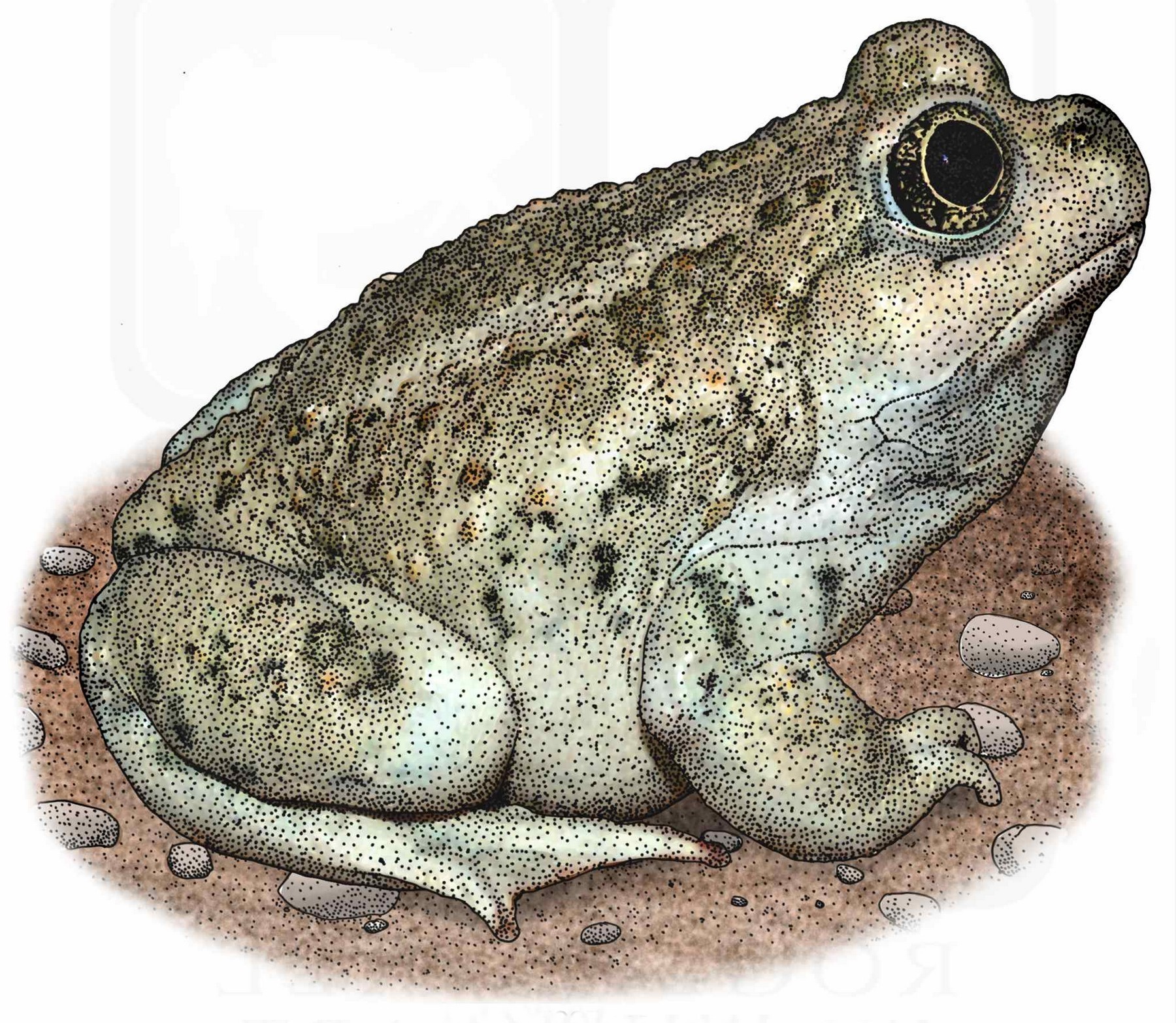
Great Basin Spadefoot