
LEGACY - Newberry Volcano
Posted by:  Volcanoguy
N 44° 03.629 W 121° 17.002
10T E 637490 N 4880023
2006 sign which was replaced in 2016.
Waymark Code: WMABQ
Location: Oregon, United States
Date Posted: 04/12/2006
Views: 32
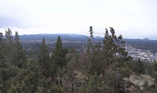
This sign was located on southern edge of summit observation area.
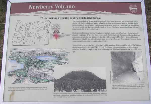
Marker Name: Newberry Volcano
Marker Text: This enormous volcano is very much alive today.
The enormous bulk of Newberry Volcano gently rises in the distance. But its history is not so gentle. All the little hills and buttes below the skyline are volcanoes - some of the 400 cinder cones that perch on its flanks. Each cinder cone was the source of a lava flow that oozed down Newberry’s side, burying forests and older lava flows. Pilot Butte, also a cinder cone volcano, is surrounded by lava from Newberry.
During its million-year history, fiery pumice and ash roared out of Newberry during several gigantic eruptions. When the eruptions ceased, the top had sunk thousands of feet and a great depression, a caldera, had formed. Today, the caldera is part of Newberry National Volcanic Monument. It holds two lakes, Oregon’s most recent lava flow, and the remains of western North America’s oldest known human wooden shelter.
Newberry is very much alive. Hot springs bubble up along the shores of the lakes. The bottoms of geothermal wells sizzle at 550° F (290° C). Future volcanic eruptions are as certain as sunrises. Newberry erupts every 300 to 3,000 years. The last eruption occurred 1,300 years ago.
At the heart of Newberry National Volcanic Monument is Newberry Crater, a caldera, which holds two deep lakes, lava flows of pumice and obsidian, and tuff rings from steam explosions.
Lava Butte, a 500 foot-high cinder cone, is named for its rugged lava flow that poured out of its side 7,000 years ago. Miles below Lava Butte, the lava dammed the Deschutes River creating a now-vanished lake in the Sunriver area.
Lava River Cave, the drained interior of a lava flow, is the largest and longest of dozens of lava tubes on Newberry Volcano. Frozen drips of lava, flow marks, and lava levees ornament its walls.
Visit Instructions:
Include your thoughts and observations pertaining to this location and your visit. Provide any additional history that you are aware of that pertains to this location. If the marker commemorates a historic building tell us what it is used for now or share with us the circumstances of an earlier visit to bring this locations history to life.
Please upload a favorite photograph you took of the waymark. Although visiting this waymark in person is the only thing required of you to receive credit for your visit, taking the time to add this information is greatly appreciated.
Be creative.