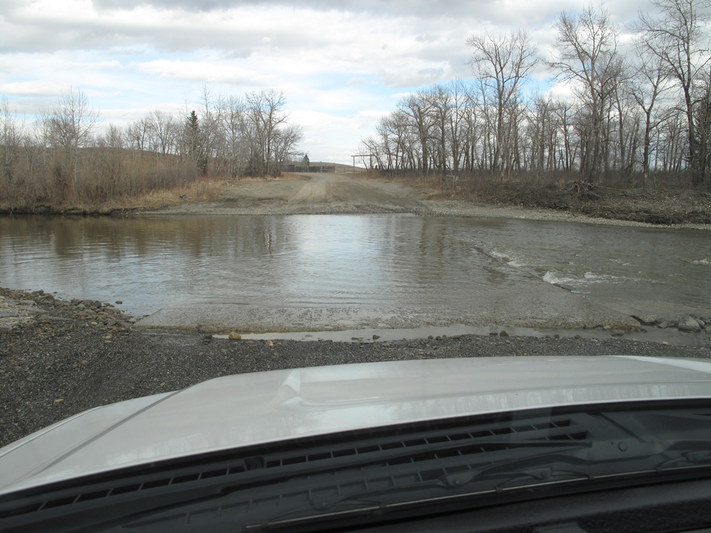
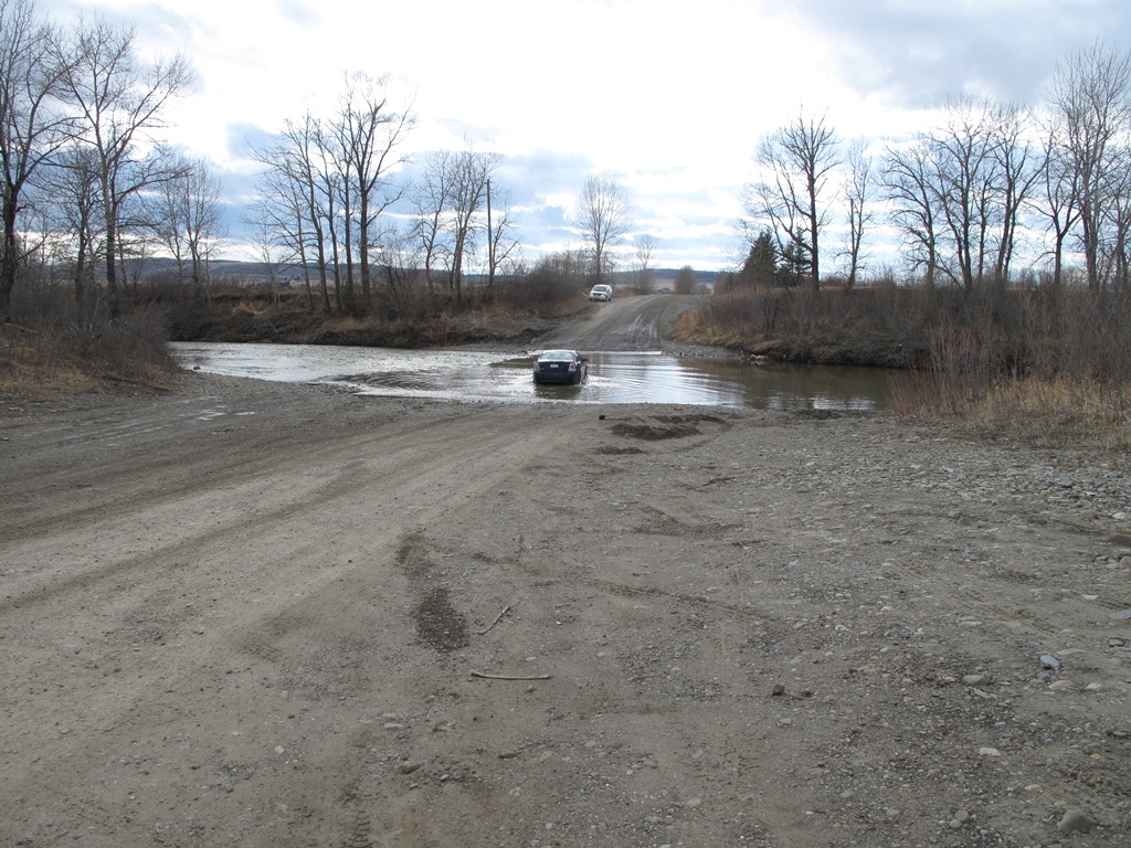
One of the last maintained fords in Alberta is across Three Point Creek. A local realtor describes the river ford as:
"The River Ford at Three Point Creek, several kilometers north of Black Diamond, is said to be one of the last maintained river fords in the province. The ford is well used by area residents as a shortcut to Calgary and a unique experience of driving through a watercourse."
See: http://blackdiamondrealestateinfo.ca/buyers/black-diamond.html
But if you want to know a true story of the ford, ask local seniors:
"'One other landmark that is rather unique in Millarville, east of highway twenty-two area, right by the Millarville church is the River Ford. It s probably one of the only River Fords left in these parts, anyway. Anyway, modern times have hit, and there is a bridge across every creek or river or whatever. It s known as Three Point at that particular stage. Originally it was called � Sheep Creek , which was the north fork of Sheep River that came out of the mountains. Anyway, it's a River Ford that everybody knows, and its had lots of people stuck in it with ice and too deep of water and everything else. But what they did about, oh, fifteen or eighteen years ago, they poured a big concrete slab in the bottom of the creek, and that eased the crossing aspect and it makes it a firm base, naturally, for everybody to drive on. So now there s less people get stuck on it.'
'In years past, when the traffic started using it, there was ranchers on either side, Winston Park and Charlie King. And they spent a lot of time pulling people out of the river ford, but neither of them are there to do it now. And maybe that was the reason for getting concrete in the bottom, these faithful ranchers weren't there to pull anyone through.'
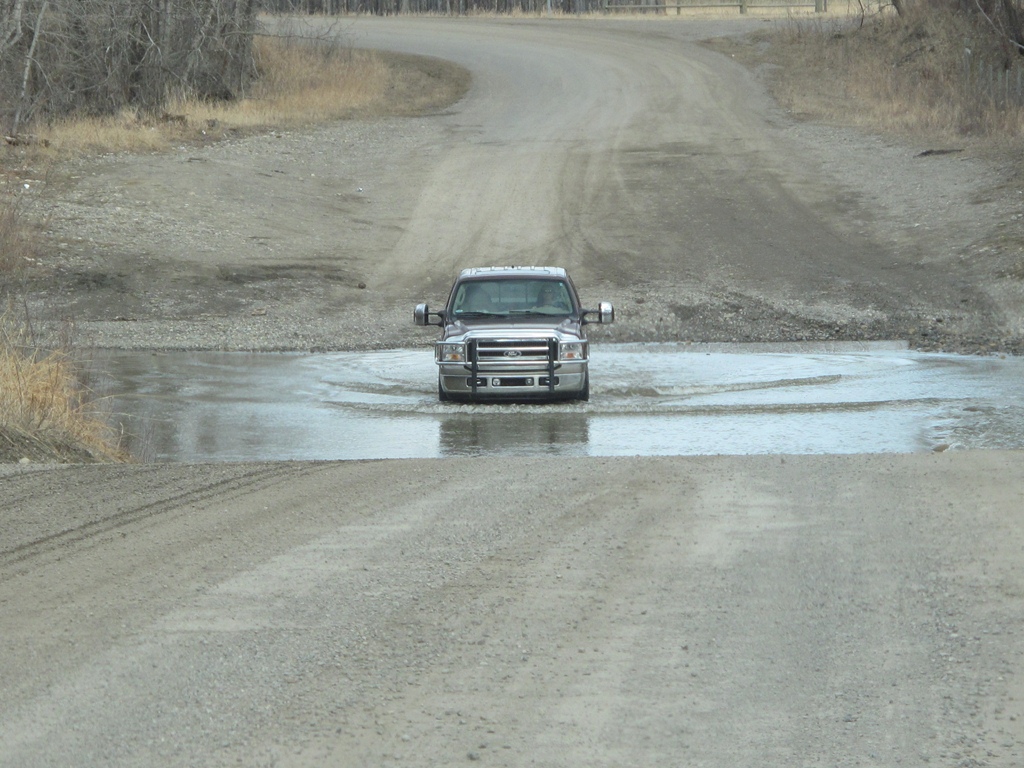
'Bob, at that time, drove an old, what was called a shooting break, which was like a big old heavy SUV or station wagon. Reverend Gant, who was the minister at the time, had a little Volkswagon Beetle. he came from Black Diamond also. So I asked Reverend Gant if we could cross the creek down where Mrs. Stabler says the ford down there. But there was no cement ford down there. There was just the creek, and the water had been so high, and Reverend Gant said yes, we could easily cross the creek, and I can go back and forth. He had a little beetle Volkswagon, and we had this great big heavy car. You come up over the hill, and you go down the back road. You come up over the hill and look down onto the creek. And my sister-in-law- and my brother-in-law and their heavy car was sitting right in the middle of the creek. And we all gasped. And Bob said Oh, don t worry, we can make it. We won t have to make it, we re just fine. We got exactly neck to neck with Howard and Alice Hampton, and down we went.' "
See: http://www.galileo.org/initiatives/ntw/millarville/loc1-eld-story-1.html