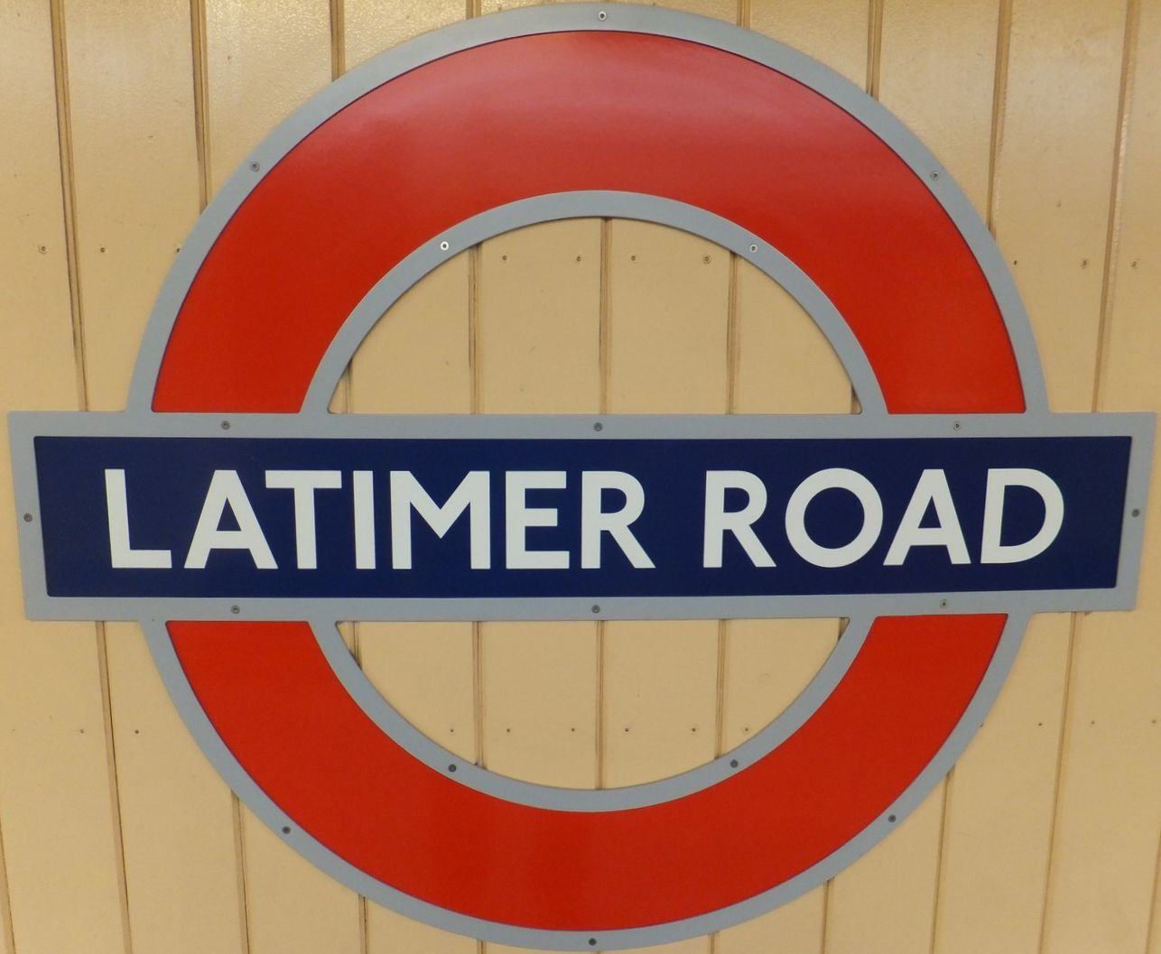
 Latimer Road Station is a London Underground station in North Kensington on the Circle and Hammersmith & City lines between Wood Lane and Ladbroke Grove stations. It is in Travelcard Zone 2.
The station opened on 16 December 1868 at a junction formed between two existing railway lines – the Hammersmith & City Railway (owned by the Great Western Railway and running between Westbourne Park and Hammersmith stations) and the West London Railway (WLR) (between Willesden Junction and Addison Road (now Kensington (Olympia) stations). Services to Addison Road were originally provided via the junction to the WLR tracks but these were discontinued in 1940 and the junction no longer exists. The line between Latimer Road and Uxbridge Road was then closed and the raised train track demolished. The remains of that stretch of track can be seen from the west end of the eastbound platform, which now houses a secure Relay Room.
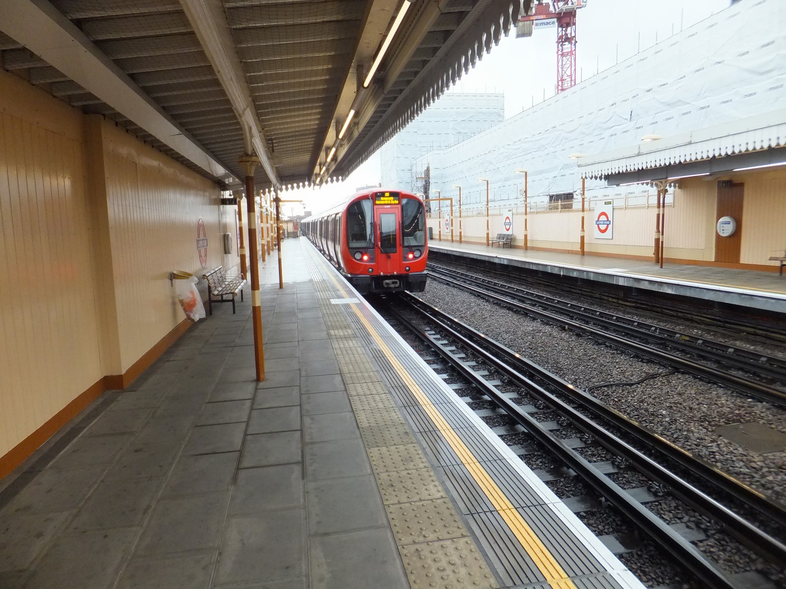
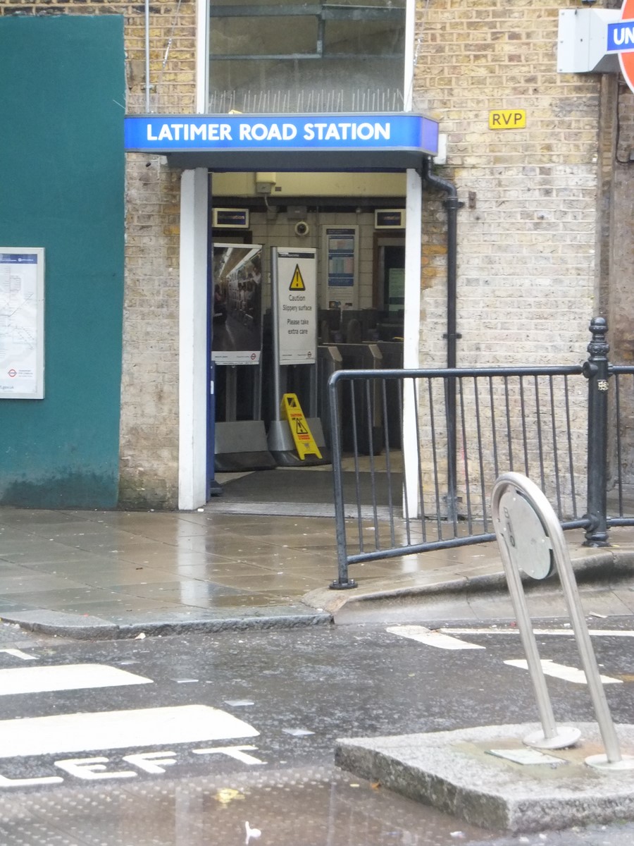
The station ticket hall at Latimer Road is located at ground level within the arches of the viaduct carrying the tracks above. The platforms are accessed by stairs and retain much of their original character with simple open timber canopies.
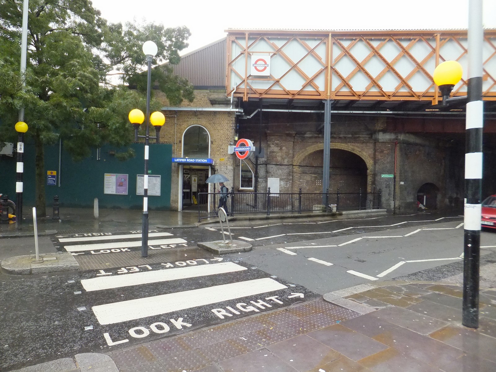 Unusually, Latimer Road and the station that bears its name are not geographically close, being approximately 500 metres apart and on opposite sides of the Westway Flyover (A40 road) – the road being to the north and the station to the south. Prior to the construction of the Westway and the elevated roundabout that joins it to the West Cross Route (A3220), Latimer Road ran further south and closer to the station. The construction of the elevated road required the demolition of the central section of Latimer Road and the truncated and isolated southern end of the road was renamed as part of Freston Road. Despite the renaming of the southern part of the road, the station retained its original name.
London Buses routes 295 and 316 serve the station.
 The station currently benefits from 1 ticket office and 2 Passenger Operated Machines (or POM's). The larger POM, called a Multi Fare Machine (MFM) accepts UK Sterling notes, up to the value of £20 and gives change consisting of 10p, 50p, £1 and £2 coins. The smaller machine known as an Advance Fare Machine (AFM) does not give change and accepts overpayment up to 30p. Both machines accept most major Credit and Debit cards, however to help combat fraud, individual cards can only be used once a day. These machines are the standard London Underground installation at all LU operated stations.
The station also benefits from the use of Electric Service Update Boards or ESUBS. These large screens advertise service information which is updated from the Network Operations Centre, located at London Undergrounds head office above St James Park Tube station.
There are currently 5 Customer Help Points on the station, 1 in the Ticket hall at ground level and 2 on each platform. These communication devices are connected to the Station Control Room at Ladbroke Grove station. They are mostly used by customers to find out where or when their next train is due to arrive, but can be used to contact staff or the police in an emergency.
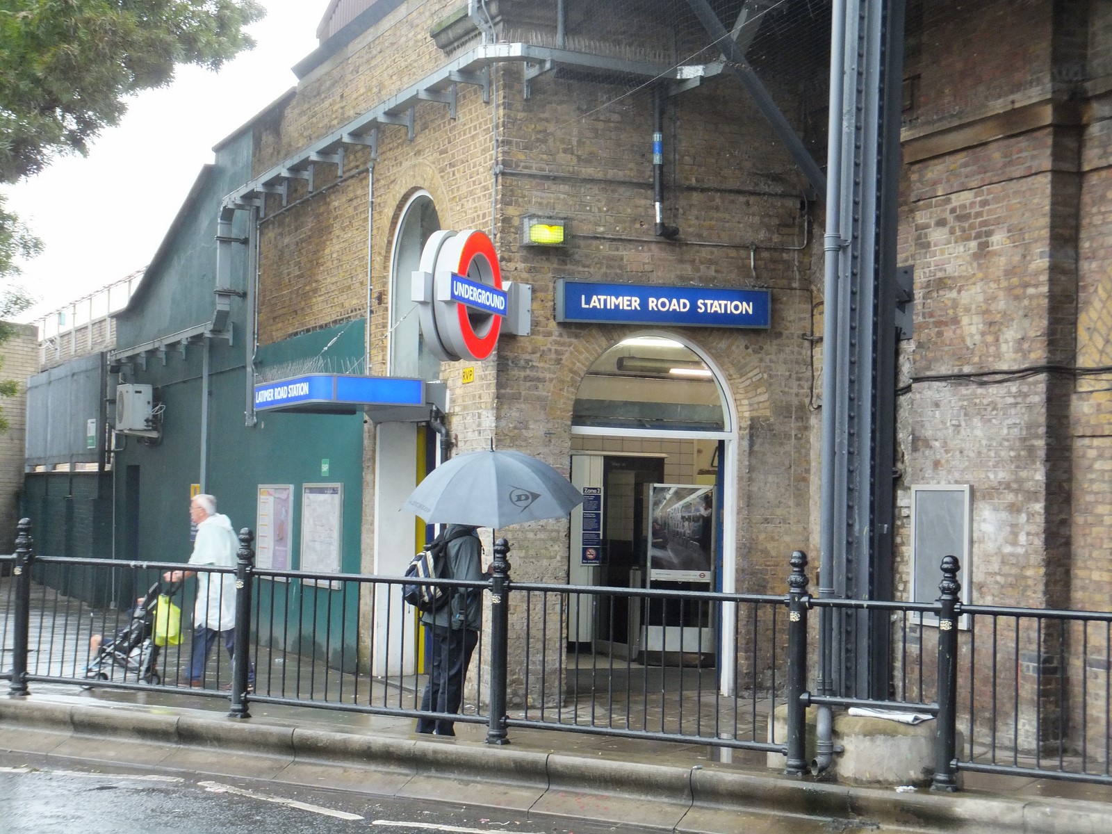 The station kiosk has been closed for many years. It is now used by London Underground as a storage area. There is a local news agent to the right of the station entrance, which also sell groceries. The old Station Public house, currently known as The Garden, is to the left of the station entrance, just under the train bridge. This building appears to have once been accessible from the westbound platform using a flight of stairs from street level. The entrance was recently discovered when the walls were removed to carry out refurbishment works.
In July 2010 the westbound platform 2 was closed to begin refurbishment and extension work, in preparation for the new S Stock, to be introduced on the Circle and Hammersmith & City lines from 2012, which will consist of 7 cars instead of the current 6-car configuration. Volker Rail has been contracted by TfL to demolish and rebuild both the east- and westbound platforms, starting with the westbound platform and then moving over to the eastbound. Reportedly it had been paid 7 million pounds to carry out the work laid out in the original plans. However the plans changed due to the poor conditions of the arches underneath the platforms, the poor condition of the lattice girders on the bridge over Bramley Road, and subsidence at ground level in the ticket hall.
 The station closed completely on Monday 17 January 2011 for 14 weeks. The westbound platform re-opened first, and the eastbound platform's re-opening on Monday 1 August 2011 heralded the station's full return to service. A new station entrance is to be built next to the disused kiosk after underpinning work has been carried out to the station's green painted wall facing Bramley Road.
When the wall for the westbound platform was removed, contractors discovered an old bricked-up entrance to the station public house, currently known as The Garden. They also found underneath the platform a very old and possibly Mahogany staircase leading up to the pub entrance. Apart from all the years of dust and grime they also found, amongst other things, a bath, old gun parts and even a vat of acid.