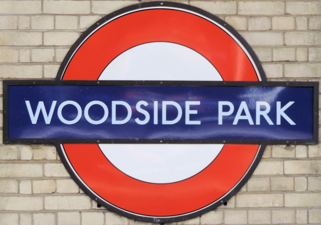
 The station is on the High Barnet branch of the Northern line, between West Finchley and Totteridge and Whetstone stations, and in Travelcard Zone 4. Woodside Park is the last station in an alphabetical list of London Underground stations.
Woodside Park station was planned by the Edgware, Highgate and London Railway (EH&LR) and was originally opened as Torrington Park on 1 April 1872 by the Great Northern Railway (which had taken over the EH&LR). The station was on a branch of a line that ran from Finsbury Park to Edgware via Highgate. The station was renamed within a month of opening, and again in 1882.
After the 1921 Railways Act created the Big Four railway companies the line was, from 1923, part of the London & North Eastern Railway (LNER). The section of the High Barnet branch north of East Finchley was incorporated into the London Underground network through the "Northern Heights" project begun in the late 1930s. High Barnet station was first served by Northern line trains on 14 April 1940 and, after a period where the station was serviced by both operators, LNER services ended in 1941. The station still retains much of its original Victorian architectural character today.
 London Buses route 383 serve the station.
The station has a large adjacent area, originally for storing coal and now used as a car park. Until about 2000, there was a second car park. A block of flats has now been built on this area. (The flats are clearly visible in the linked picture of platforms).
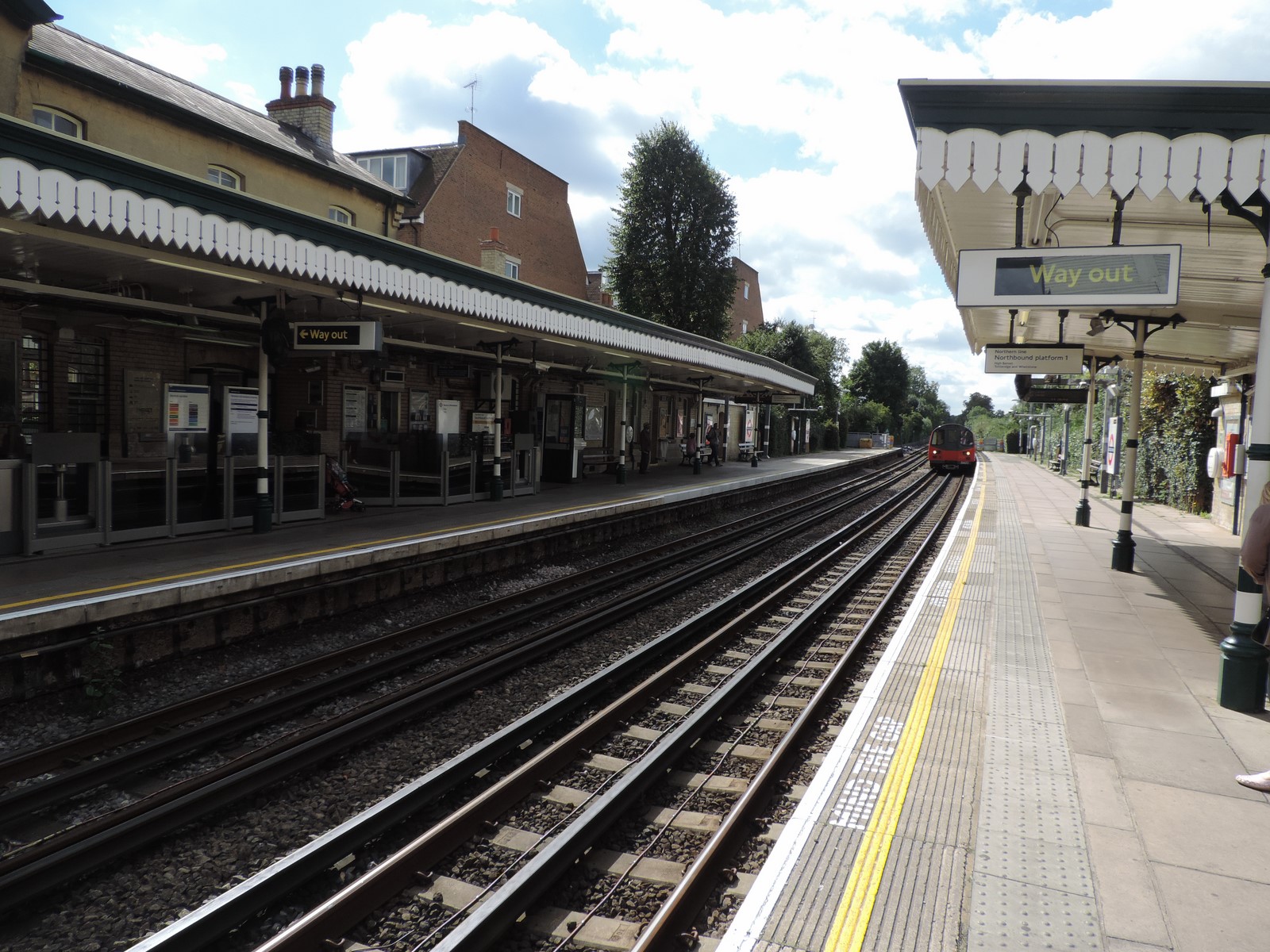
The station is above ground. Both platforms are readily accessible from the street by wheelchair. The main entrance, with ticket office, is at the end of a cul-de-sac (Woodside Park Road), adjacent to the car park entrance. This leads on to the southbound platform. A Victorian post box (with the initials VR, Victoria Regina, for Queen Victoria) is set into the front wall of the station; it seems to date from the construction of the station.
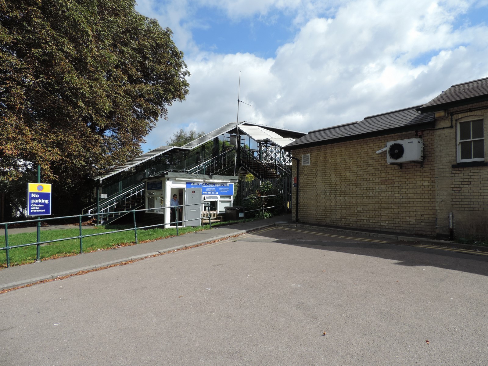
 The entrance leading on to the northbound platform is also at the end of a cul-de-sac (Station Road), a turning off Holden Road. There is no automatic ticket barrier at the latter entrance. Just outside this entrance is a small building housing a minicab firm.
To get from one platform to the other it is necessary to cross a footbridge, or to leave the station and make a journey round the adjacent streets. There is a route from the ticket office onto the bridge without going through the ticket barrier, but it is necessary to go through the barrier to get from either the bridge or the ticket office onto the southbound platform.
This bridge may also be used to cross between Station Road and Woodside Park Road without entering the station. There are two sets of stairs at each end, one leading to the platform and the other to outside the station.
The station is unique in the district as it is at the centre of a residential area. There are no retail stores around it other than a small mobile coffee shop which also sells newspapers and sandwiches outside the entrance. This is mainly due to residential pressures against commercial activity in the area.