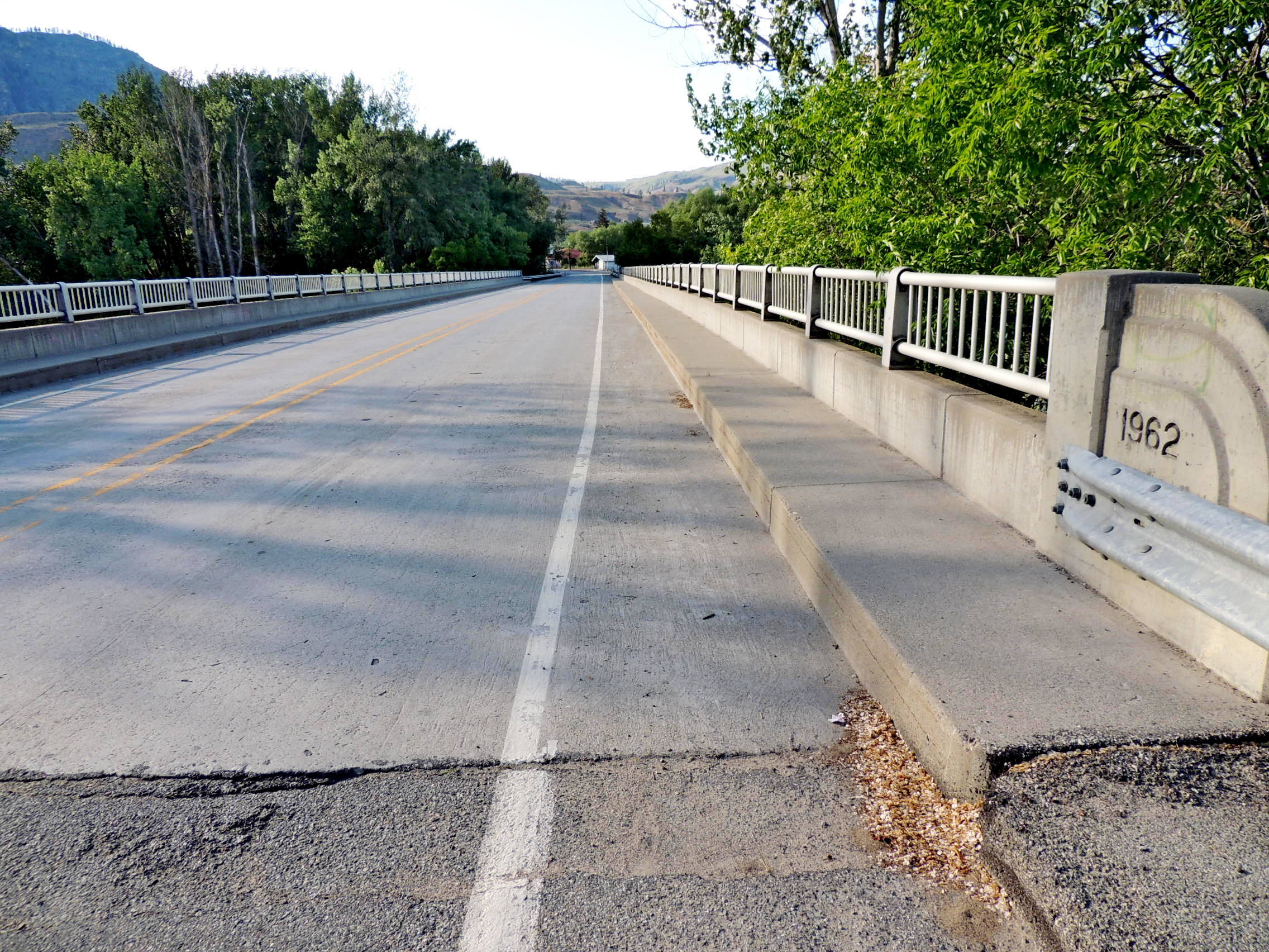
Okanogan River Bridge - 1962 - Malott, WA
Posted by:  T0SHEA
N 48° 16.806 W 119° 42.264
11U E 299366 N 5350969
This bridge represents the third to last crossing of the Okanogan River before it disappears into the Columbia.
Waymark Code: WM1027E
Location: Washington, United States
Date Posted: 02/10/2019
Views: 1
About 100 metres, or 330 feet, in length, this bridge carries Highway 213 from Highway 97 across the Okanogan into the village of Malott. At the ends of the reinforced concrete bridge's sidewalls are concrete end posts with rounded ends, a little Art Deco in appearance. Each of the posts on the right hand side, as one approaches the bridge, is stamped with the bridge's date of construction - 1962.
One may park on the east side of the road, just off the south end of the bridge.