Fairview, in spite of prevailing opinion of the time, burst into existence, flourished and died as quickly as most other gold rush towns of the time. One of the largest and most elegant hotels of the era, the
(nicknamed "the Big Tee-Pee) was built and burned in just five short years. It was never rebuilt and its demise sounded the death knell for the town, as the gold diggings were already beginning to play out when it burned.
Essentially nothing remains of Fairview except several historical markers. As well as a Province of British Columbia heritage marker, at the townsite one will find this kiosk, with several markers outlining the history of Fairview, nearby towns and gold rushes of the southern BC Interior.
This three part marker examines the beginnings, growth and development of the nearby towns of Oliver & Osoyoos.
The site of the Presbyterian Church has been marked, but is otherwise indistinguishable from the surroundings. Constructed at Fairview in 1899, it was moved to Okanagan Falls in 1929 and is affectionately known as
for the method in which it was disassembled for transport (Hint - dynamite was involved). The wooden
Oliver and Osoyoos
 Oliver
Nestled between McIntyre Bluff and the northern end of Osoyoos Lake, Oliver is named after former British Columbia premier John Oliver (affectionately named "Honest John") Whose government purchased, in 1919, 22,000 acres of land along the Okanagan river financed an ambitious irrigation system to encourage orchard development.
By 1921 the town site had been planned and, two years later, a branch of the CPR reached Oliver (it was abandoned in 1978).
As an unemployment relief project during the “Dirty Thirties", an airport was completed in 1933 and, in 1942, the 45-bed St. Martin's Hospital was established by the Sisters of St. Anne, while the Village of Oliver was incorporated in 1945.
From its early ranching and logging origins, Oliver has progressed through ground cropping to become one of the province's premium fruit-growing areas, with vineyards, wineries and allied industries, and, in 1996, celebrated its 75th birthday.
Caption:
Looking West onto the main irrigation syphon in Oliver, 1920. The syphon carried water from the East to the West side of the Valley.
 Oliver and Osoyoos
Located on historic trails used by Indians, fur traders and gold miners, Oliver and Osoyoos are today thriving communities which, over the years, have made dry land blossom. Even today, the perfumes of the Sonora desert permeate the air while snakes, scorpions and rare reptiles still live here.
Until the international boundary between the United States and Canada was agreed upon in 1846, The Okanagan Valley formed part of Oregon Territory, jointly shared by American and British interests.
But gold-mining brought settlers and, when the flowing bunch grass proved ideal for ranching, trail herding of livestock became an industry. In the early '20s, after World War I, a dam was built at the foot of McIntyre Bluff, a 40 km cemented "ditch" made available to Oliver and Osoyoos settlers the benefits of a gravity-fed irrigation system, which transformed 5,000'acres of Valley land into fertile orchards. (Until their trees bore fruit, growers earned fame for their ground crops, especially cantaloupe melons).
In 1952, 23 miles of the winding Okanagan River were straightened under a Flood Control Program and, from 1963 to 1973, a 30-lb pressure system was installed, to deliver water to the highest point of every approved orchard and vineyard.
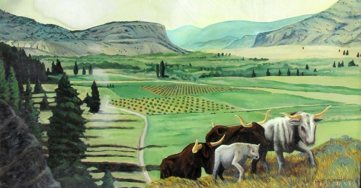
The gold is long gone. The longhorn cattle and wild horses formerly a feature of this area have been replaced by modern breeds. With mechanization, farm life became easier. The development we see in this Valley today is the result of joint efforts by Salish Indians, fur traders, gold seekers, cattle ranchers, fruit and grape growers, their legacy a peaceful array of luxuriant orchards, green pastures and fine wines.
 Osoyoos
"Sooyus" was the Interior Salish name for the "narrows" where an ancient Indian trail crossed beautiful Lake Osoyoos and, after the international border was surveyed, a Canadian port-of-entry customs house was built there in 1861.
The east-west Dewdney Trail, which passed through Osoyoos, was built to connect Vancouver merchants with flourishing gold-mining camps at Rock Creek and Wild Horse Creek.
When the South Okanagan was opened for settlement, long-horned Mexican cattle were ranched in the vicinity. To serve the diverse economy which sprang up: CPR rails were extended to Osoyoos in 1944 and, two years later, the Town of Osoyoos was incorporated. Today, it achieves impressive growth through agriculture, tourism and as a retirement community.
Caption:
The Customs border crossing in Osoyoos. It came to Fruition in the mid-1800's. W.H. Lowe and J.C. Haynes were but two of the early customs agents at the border.
From the Historical Marker