
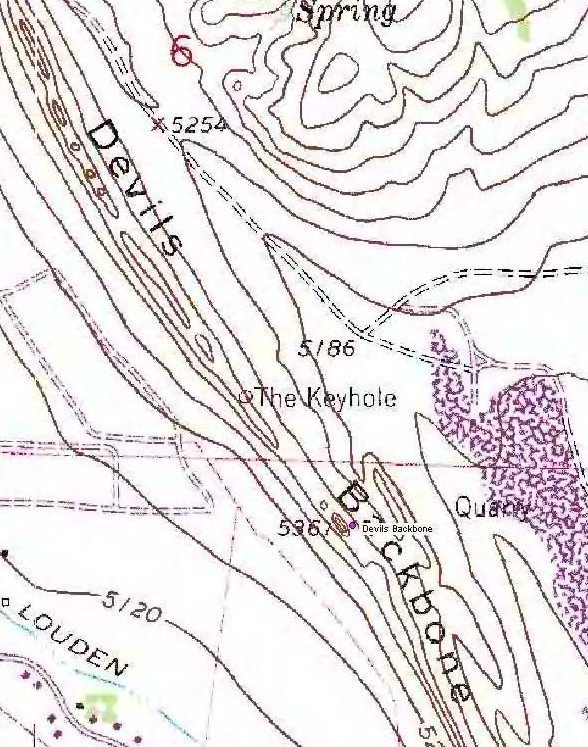
Devils Backbone
N 40° 25.666 W 105° 09.930
13T E 485961 N 4475250
A unique geological formation West of Loveland that resembles the spine of a dragon as it emerges from the ground.
Waymark Code: WM3FN
Location: Colorado, United States
Date Posted: 11/06/2005
Views: 60
Devils Backbone is an awesome place to hike and view the blending of the foothills and the Mountains. A good map and information that was compiled by Tahosa can be found
here and there is also a Grandfathered Virtual
cache located out there.
And if your looking for another waymark check out the Keyhole
In the spring there are certain trail restrictions due to nesting of certain species.

In order to Log this way mark find the above virtual cache.