Lempster, NH
Posted by:  silverquill
N 43° 13.533 W 072° 10.687
18T E 729169 N 4789728
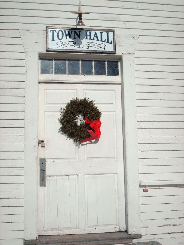
Also known as Union Hall, this historic building dates from 1795, designed by James Bingham and Elijah Frank. For a period of time it was home to the Silver Mt. Grange and now serves as Town Hall for the mountain community of Lempster, New Hampshire
Waymark Code: WM5QRN
Location: New Hampshire, United States
Date Posted: 02/03/2009
Views: 8
This territory was originally granted in 1735 by Massachusetts Governor Belcher as Number 9, the ninth in a line of forts established to guard against Indian attacks. It was regranted in 1753 by Governor Benning Wentworth under the name Dupplin, after Sir Thomas Hay, Lord Dupplin of Scotland, who had been in charge of the settlement of Nova Scotia.
The town was granted yet again in 1761 as Lempster, named for Sir Thomas Fermor of Lempster, England, who was a Wentworth relation. Settlers were not able to meet the prescribed terms, so a regrant charter was issued in 1767. By 1770 only eight families had settled there, and a charter extension was requested of and issued by Governor John Wentworth in 1772.