|
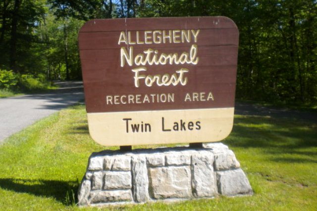
 Twin Lakes Recreation Area - Allegheny National Forest - Wilcox, Pennsylvania
N 41° 36.074 W 078° 45.655
17T E 686595 N 4607925
Twin Lakes is located off of State Route 321 (Twin Lakes Road) in Jones Township, Elk County, Pennsylvania.
Waymark Code: WMFGRQ
Location: Pennsylvania, United States
Date Posted: 10/18/2012
Views: 2
Twin Lakes Recreation Area - Allegheny National Forest - Wilcox, Pennsylvania
History:
Twin Lakes was once the site of factory buildings, stores and row houses owned by the McKean Chemical Company which made wood alcohol. A company splash dam, used to augment water levels for the chemical plant downstream once occupied the site of today's dam. When McKean Chemical Company closed in the 1920s, the USDA Forest Service acquired the propoerty. In 1936, the Civilian Conservation Corps (CCC) constructed the present dam on Hoffman Run, creating the swimming impoundment. They built the lower campground, picnic area, pavilion and bathhouse. The "twin" impoundment was never built, as money planned for its construction was diverted to build Loleta Recreation Area near Marienville, PA.
Amenities
- family campsites (some include electric hookups), double campsites and group tent campsites with pavilions. Other facilities include both flush and vault toilets, hot water showers, both pressurized and pump water systems, trailer dump stations, paved paths and roadways and playgrounds.
- The day use area includes a swimming beach, bathhouse, picnic tables, pavilion, playground, walking trail around the lake and fishng piers.
A railroad underpass located on the entrance road (Forest Road 191) prevents vehicles taller than 10 foot clearance to pass. Small campsites prevents vehicles longer than 28 feet.
Estimated size of the public land (in regional measurement standard: hectares, acres, kms, etc.): 200 acres

Is there a trail system?: No
What points of interest are there?:
Twin Lake
What activities are available?:
Camping, Fishing, Picnicking, Swimming, Group Camping
Hours of accessibility?: Year-Round (Quiet Hours: 10:00p - 6:00a_
List of known hazards (cliffs, snakes, poison plants, etc.):
Water-related hazards
Dogs Allowed?: Yes
Is a permit/fee required?: No
Please supply the website of the land if available: [Web Link]
If there is a trail system, please describe length, terrain, etc.: Not listed
If a permit/fee is required please describe in detail how to get one, how much, etc.: Not listed
|
Visit Instructions:
Visitors are encouraged to supply a picture of either themselves or their GPS at the trailhead and/or signage of the public access lands - describe your experience there and what you saw - tell us why other folks should come visit!
Recent Visits/Logs:
| There are no logs for this waymark yet. |
|
|
|
|