|
 Velky Inovec, luka - Pohronsky Inovec, Slovakia Posted by:  Rikitan Rikitan
N 48° 24.619 E 018° 32.394
34U E 317954 N 5364831
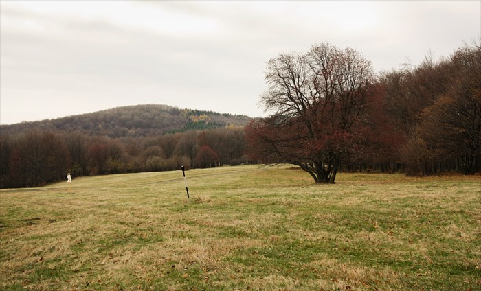
Hiking signage post with 6 direction & distance slats, installed on great meadow under summit of Velky Inovec, central Slovakia.
Waymark Code: WMJDCY
Location: Banskobystrický kraj, Slovakia
Date Posted: 11/03/2013
Views: 13

Direction and distance arrows - Velky Inovec, luka - is located on a great meadow just 10 minutes walk from summit of Velky Inovec in altitude 855m ASL.
It contains 6 direction signs with distance (in walking time) to 14 different hiking destinations by 3 marked trails:
- red trail: Zlate Moravce - Velky Inovec, 15.5km, 922m up, 206m down, time: 4:55
- green trail: Motorest Zubor - Velky Inovec - Stara Huta, 16.4km, 761m up, 566m down, time: 5:05
- yellow trail: Osná dolina - Velky Inovec - Tekovské Nemce, 16.8km, 611m up, 686m down, time: 4:55
Arrows are part of large system of hiking signage in Slovakia,
installed by Club of Slovak Tourists in year 2005.
Red trail is part of long distance hiking trail called Rudna magistrala.
 Slovak description:
Smerovnik Velky Inovec, luka sa nachadza v nadmorskej vyske 855m na velkej luke pod vrcholom Velkeho Inovca.
Ma 6 smerovych tabuliek k 14 rozlicnym turistickym cielom, vedu k nim 3 rozlicne znacene trasy (uvedene vyssie).
Bol osadeny Klubom slovenskych turistov v roku 2005.
Cerveno znacena trasa je sucastou dialkovej turistickej trasy Rudna magistrala.
Date placed: 01/01/2005

Historic significance:
Arrows are part of large system of hiking signage in Slovakia, installed by Club of Slovak Tourists.
Location nearest to where you live now:
Zlate Moravce
|
Visit Instructions:
To log an existing waymark in this category, please describe why you visited this marker, provide a photograph of the marker (preferably with yourself or a friend) of the marker, and list the "arrow" that comes closest to where you live now.
|