|
 North Carolina - Mecklenburg County Posted by:  showbizkid showbizkid
N 36° 32.653 W 078° 11.851
17S E 750863 N 4047967
Two sided marker on the state border between North Carolina and Virginia. Mecklenburg County to be specific. This marker was placed in 1947.
Waymark Code: WMKFV
Location: Virginia, United States
Date Posted: 08/08/2006
Views: 17
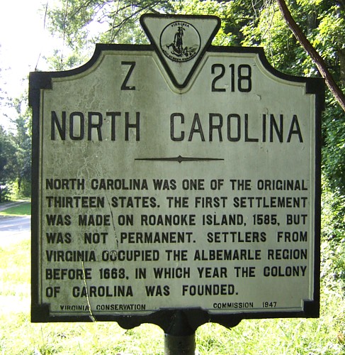
The North Carolina side reads:
NORTH CAROLINA
------
NORTH CAROLINA WAS ONE OF THE ORIGINAL
THIRTEEN STATES. THE FIRST SETTLEMENT
WAS MADE ON ROANOKE ISLAND, 1585, BUT
WAS NOT PERMANENT. SETTLERS FROM
VIRGINIA OCCUPIED THE ALBEMARLE REGION
BEFORE 1663, IN WHICH YEAR THE COLONY
OF CAROLINA WAS FOUNDED.
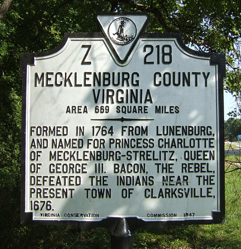 The Mecklenburg County side reads: MECKLENBURG COUNTY
AREA 669 SQUARE MILES
------
FORMED IN 1764 FROM LUNENBURG,
AND NAMED FOR PRINCESS CHARLOTTE
OF MECKLENBURG-STRELITZ, QUEEN
OF GEORGE III. BACON, THE REBEL,
DEFEATED THE INDIANS NEAR THE
PRESENT TOWN OF CLARKSVILLE, 1676.The marker is well off the paved road and I had to clear some vines and dead branches to get a photo of the Mecklenburg County side. They say moss grows on the north side of trees. It grows on the north side of historic markers, too, as evidenced by the North Carolina side.
Marker Number: Z-218

Marker Title: North Carolina - Mecklenburg County
Marker Location: U.S. Highway 1 South at North Carolina border
County or Independent City: Mecklenburg County
Marker Program Sponsor: Virginia Conservation Commission
Web Site: Not listed
|
|