|
 Devil's Head Conservation Area - Calais, ME Posted by:  T0SHEA T0SHEA
N 45° 09.468 W 067° 09.748
19T E 644427 N 5002122
We came across the sign for Devil's Head Conservation Area while motoring along Highway 1 southeast of Calais, Maine.
Waymark Code: WMP3B8
Location: Maine, United States
Date Posted: 06/22/2015
Views: 1
We haven't yet found a definitive definition of what Devil's Head actually is. The name appears to have been in use as early as 1889 when a resort hotel, the Demonts Hotel was built along the shore in the area. It could refer to a point on the bay separating Maine and New Brunswick, aka the St. Croix River, or it could refer to the hill to the south of the point.
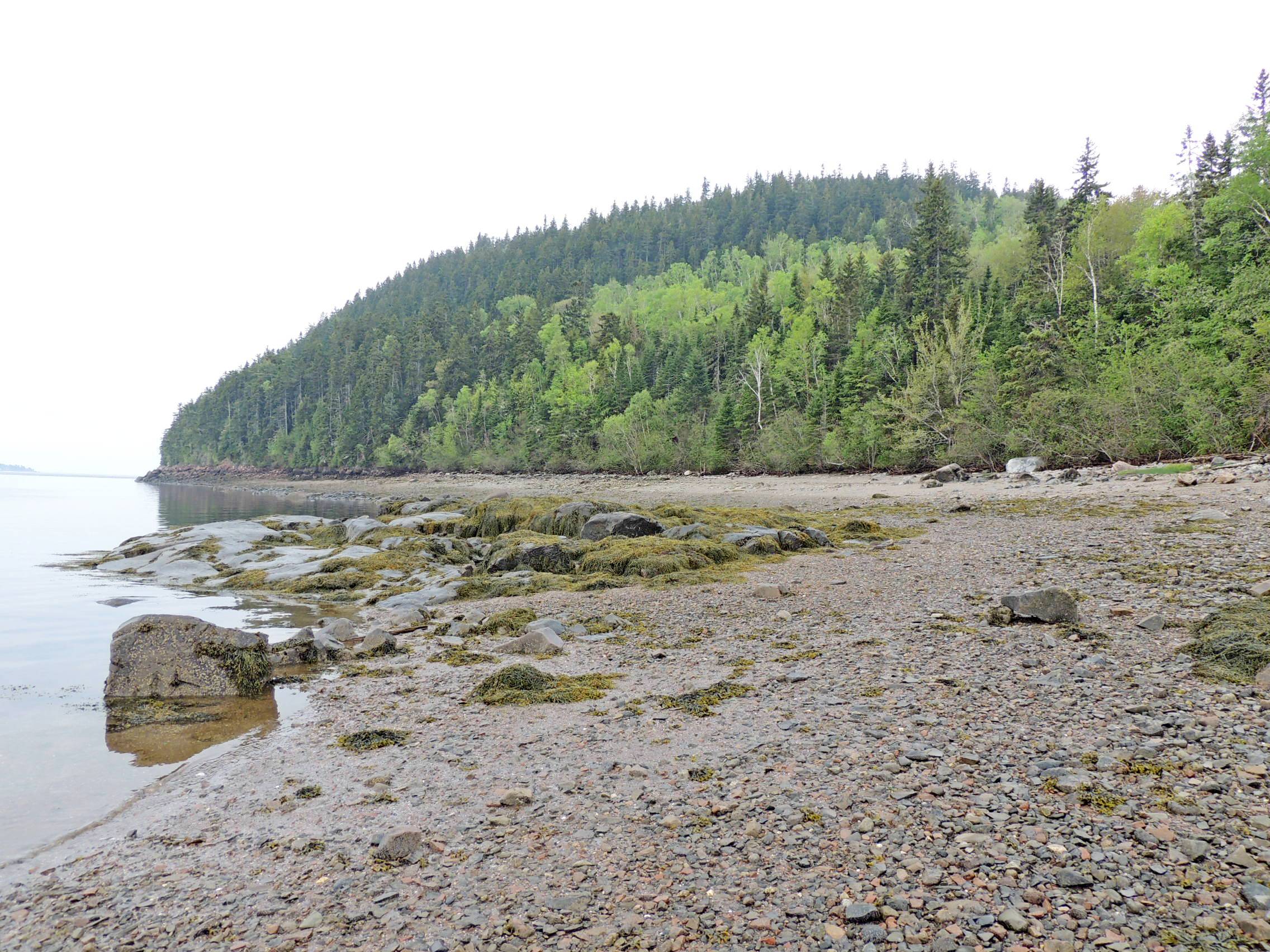
The most likely answer to "What is Devil's Head?" located in Calais, Maine, is described as a 340-foot tall granite bluff overlooking the St. Croix River, the historic St. Croix Island, and New Brunswick, Canada.
It is surrounded by 315 acres of public park lands, Devil's Head Conservation Area, including trails and riverside picnic areas. There are many trails, of which lead to lookout locations at the top of the bluffs.
On Devil's Head is the Devil's Head Conservation Area, the sign for which is the one we located on the highway. Also on Devil's Head is an archaeological site, which is along the shore. In reports on the studies, the Maine Government suggests that Devil's Head refers to the area around the point to which I refer above.
Text from a sign near the shore can be found below.
Devil's Head
MARINER'S STOPPING POINT
This site has been a haven for sea-going travelers for thousands of years. Before recorded time, early Aboriginal people stayed here during their annual harvests of coastal fish and clams. Beginning in the early 1600s, French and then English settlers would beach their boats here to await the incoming tide that would carry them upriver, using the time to hunt and cut wood. A portion of this site has been listed in the National Register of Historic Places, for its early historic values.
THE DEMONTS HOTEL
In 1889, eleven Calais residents formed the Devil's Head Association to purchase this location for a resort hotel, cottages and steamboat wharf. The Demonts Hotel, named after the leader of the 1604 French settlement on St. Croix Island, operated until it burned in the 1920s. During this period, the coastal steamer that traveled between Calais and Eastport would stop here daily for passenger refreshment. Some of the cottages remained in use into the 1040s but were mere relics by the turn of the century.
A NEW BEGINNING
In 2002-2003, the St. Croix International Waterway Commission led a campaign to purchase the five properties that currently form the Devil's Head Conservation Area. Now owned and maintained by the City of Calais under protective agreements with the State, Devil's Head is open for low-impact public use on a year-round basis.
From the Sign
Estimated size of the public land (in regional measurement standard: hectares, acres, kms, etc.): 318 acres

Is there a trail system?: Yes
If there is a trail system, please describe length, terrain, etc.:
1.8 mile loop, partially flat, partially hillside, most through forest, some along sand and rocky beaches.
Tides here can be up to 25 feet, so pay attention to the water!!!
What points of interest are there?:
St. Croix River, vistas from the higher points
What activities are available?:
Biking, hiking, wildlife viewing, bird watching, sunning and swimming
Hours of accessibility?: 24/7/365.25
List of known hazards (cliffs, snakes, poison plants, etc.):
High and fast moving tides
Dogs Allowed?: Yes
Is a permit/fee required?: No
Please supply the website of the land if available: [Web Link]
If a permit/fee is required please describe in detail how to get one, how much, etc.: Not listed
|
Visit Instructions:
Visitors are encouraged to supply a picture of either themselves or their GPS at the trailhead and/or signage of the public access lands - describe your experience there and what you saw - tell us why other folks should come visit!
Recent Visits/Logs:
| There are no logs for this waymark yet. |
|
|
|
|