
Parthequelle Gossenborn - Bad Lausik, Sachsen, Germany
Posted by:  matefreund
N 51° 08.560 E 012° 43.595
33U E 340973 N 5668147
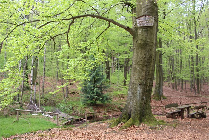
Die Parthequelle befindet sich im Glastener Forst. The Parthe-spring is located in the Glasten Forest.
Waymark Code: WMVNJF
Location: Sachsen, Germany
Date Posted: 05/09/2017
Views: 2
Die Parthe ist ein 56,7 km langer Fluss in Sachsen, der im Glastener Forst entspringt und in Leipzig in die Weiße Elster mündet. Der historische Name der Quelle lautet Gossenborn, benannt nach dem im 15./16. Jahrhundert Gossa genannten Waldbezirk, in dem sie liegt. Das Einzugsgebiet der Parthe umfasst etwa 360 km². Die Quelle selbst ist ein sogenannter Quellfächer von mehr als 10 Rinnsalen.
Etwas Historisches: Zur Zeit des Dritten Reiches konnten Angehörige der damals verbotenen Arbeiterbewegung an den Rasthütten der Quelle Gossenborn unentdeckt den 1. Mai feiern.
* persönliche Einschätzung über die Größe der Quelle (nach Tabelle in Kategorie-Beschreibung): 7th Magnitude - 8 to 63 mL/s
* genaue Position der Quelle: süd-westlich des Wegesterns Königsschneise/Kalkweg
* Fließrichtung des Gewässers: Das Rinnsal fließt in nord-westliche Richtung und reichert sich nach mehreren Zuflüssen zu einem Bach und schließlich zu einem kleinen Fluss an. Ab dem Ort Parthenstein fließt die Parthe im ehemaligen Flussbett der Leipziger Mulde. (Die Mulde wurde zur Saalekaltzeit vor ca. 130.000 bis 160.000 Jahren durch Gletscherablagerungen abgeriegelt und fließt nun durch Wurzen und Eilenburg.)
ENGLISH:
The Parthe is a 56.7 km long river in Saxony, which springs up in the Glastener Forst and flows into the White Elster in Leipzig. The historical name of the spring is Gossenborn, named after the 15th / 16th century called forest district Gossa. The catchment area of the Parthe comprises approximately 360 km².
Something historical: At the time of Nazi Germany members of the then forbidden workers' movement could celebrate the 1st of May undiscovered at the resting huts of the Spring.
* estimation of the magnitude of the spring: 7th Magnitude - 8 to 63 mL/s
* exact position of the spring: south-west of the way star Königsschneise/Kalkweg
* Flow direction of the water: The river flows north-west, and becomes a small river because of several influxes. At the village Parthenstein the Parthe flows in the former river bed of the Leipziger Mulde. (The river Mulde was cut off by glacier deposits around 130,000 to 160,000 years ago and flows now through Wurzen and Eilenburg)
Quelle/Source:
* https://de.wikipedia.org/wiki/Parthe
* http://www.faust-schoenbach.de/unterwegs/unterwegs.html