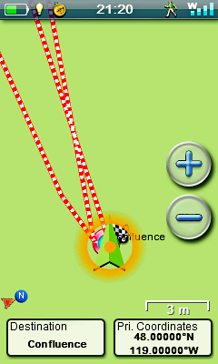
We searched and we searched for a confluence spot within about 500 kilometres that was reasonably easy to get to and this one was the winner.
North-northwest of Grand Coulee and the Grand Coulee Dam, the largest in the country, this confluence spot is just north of Pendall Rex Road. To get to it one must turn north off Highway 174, west of Grand Coulee, at Crown Point Road and fairly quickly take a left on Barry Rex Road, a gravel road, then follow it for 2.6 miles and over two cattle guards, just past the junction with Pendall Rex Road. Be careful on this road as you'll encounter range cattle, with calves in the spring, and they're not above standing in the middle of the road chewing their cuds, daring you to pass. Otherwise, they're quite placid and mild mannered.
At the Crown Point Road turnoff is a sign for the Crown Point Viewing Area, a great place to view Grand Coulee Dam. In the evenings in the summer it's also a great place to view the laser light show.
The views in the gallery are, in order, North, East, South and West. Below is the view to the North.
![]()